

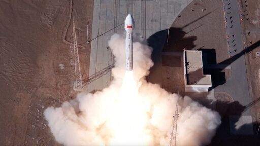
“As far as we know, no coordination or deconfliction with existing satellites operating in space was performed, resulting in a 200 meter close approach between one of the deployed satellites and STARLINK-6079 (56120) at 560 km altitude.”
“As far as we know, no coordination or deconfliction with existing satellites operating in space was performed, resulting in a 200 meter close approach between one of the deployed satellites and STARLINK-6079 (56120) at 560 km altitude.”
personally, i think all satellites live positions should be public at all times, with launching them being more accessible, it becomes harder to coordinate everyone who may or may not have a satellite.
I think they are and that’s why it’s ridiculous. China for sure is aware of all satellite positions, regardless of public databases.
Seems more like an incompetence thing, but then again we see how they behave in Philippine waters and in general. They don’t give a fuck and think the world belongs to them.
And so do the US, and especially Musk. So what happens when an unstoppable force meets an immovable obect?
I know the answer for that. A lot of shrapnel will happen - that will eventually hit and damage other spacecraft.
There you go: https://satellitetracker3d.com/
There are a few sites like celestrak.org hosting TLEs for all satellites and some debris, which allow you to calculate current and future positions yourself. They are published by NORAD (North American Aerospace Defense Command) since 2003.
These aren’t super critical information. While we know where they are, it’s not always public information what they do exactly.
I disagree, I think satellites should be launched freely and at will by any private party, consistent with the non aggression principle, and without the state applying authoritarian industry killing regulation through a monopoly of violence.